Colorado Narrow-gauge railroads in the Heart of the Rockies
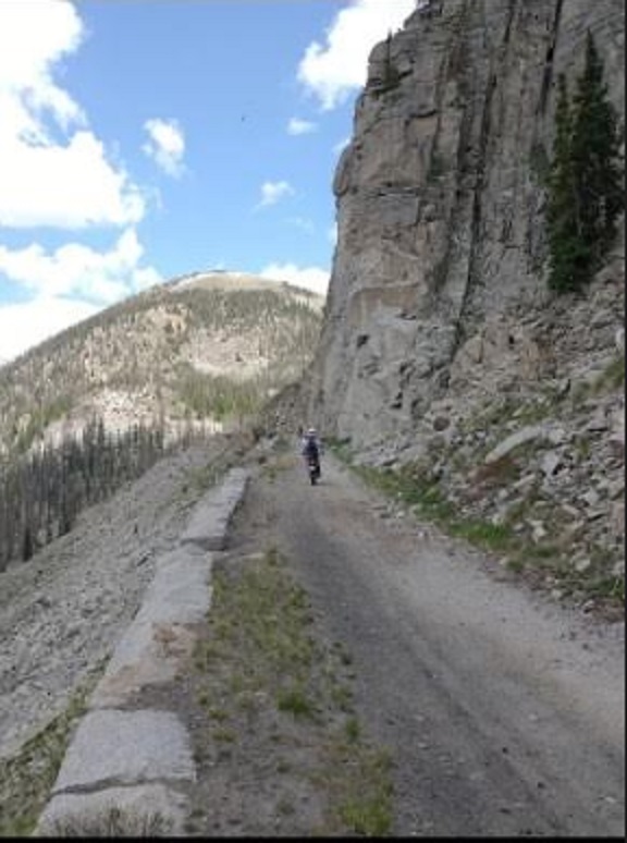
Ride old Narrow Gauge Railroad lines with Exit Tours MC on Dual Sport & Adventure Motorcycle rides in the Rocky Mountains.
The silver and gold bonanza of the late 19th Century led to a major boom in narrow gauge railroads across Colorado.
Out of the plethora that’ve come and gone, let’s reminisce and look at what sparked our enthusiasm for a visit of what’s left today.
- You can ride all of these Old Railroad line on Great Divide Adventure Rides in the summer in Colorado.
You can ride portions of all of these old Railroad Right-of-ways on Great Divide Adventure Rides:
- The Denver South Park & Pacific
- The Denver Rio Grande & Western
- The Florence & Cripple Creek RR
- The Colorado Midland
- The Colorado Springs & Cripple Creek District short line
- The Rio Grande & Southern Railroad
- Ride along and crossover the Cumbres & Toltec Railroad.
See brief descriptions of each of these old Railroad lines you can ride below:
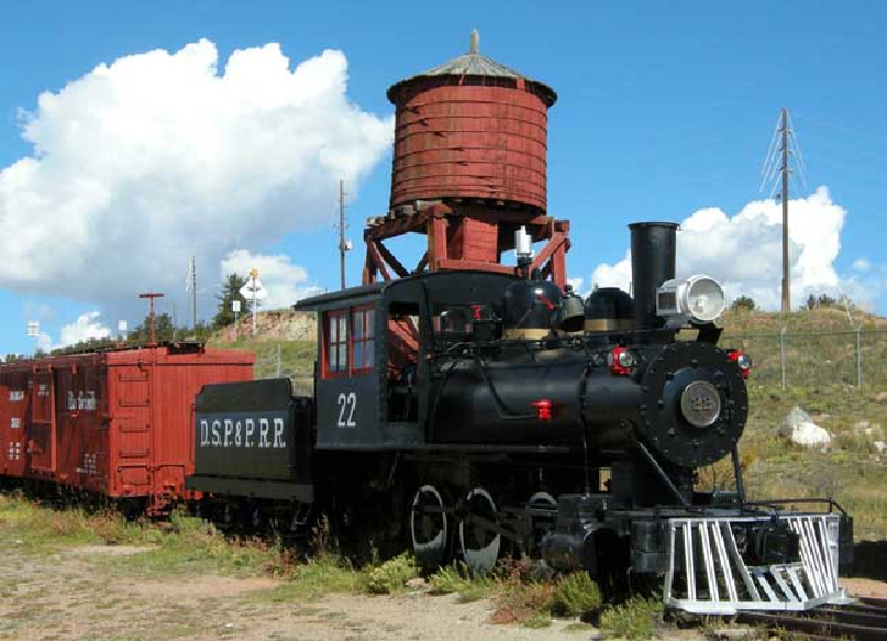
Denver, South Park & Pacific Railway
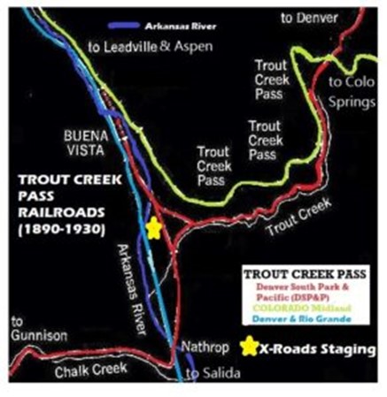
The Denver, South Park & Pacific Railroad (DSP&P) began to lay track in 1873 to head southwest of Denver and reach Buena Vista, CO.
- And reached Leadville for a piece of the silver boom in 1880.

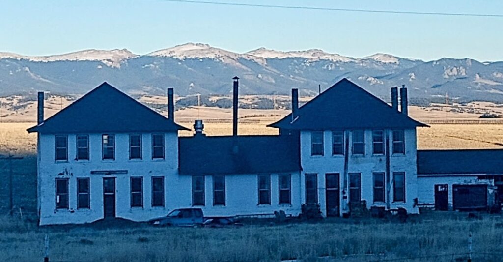
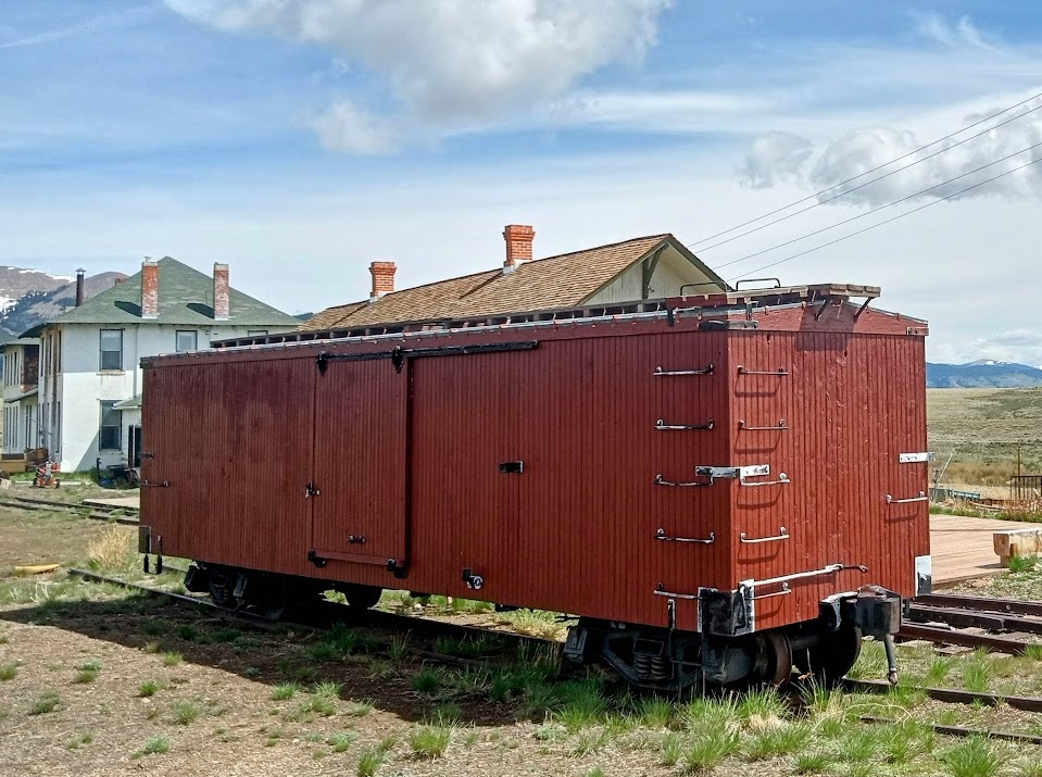
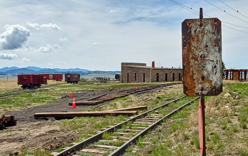
The Denver South Park & Pacific (DSP&P) was nicknamed “South Park Line”.
- The DSP&P eventually built its own passage with a Como-Leadville division in 1884 as it crossed over the Continental Divide twice.
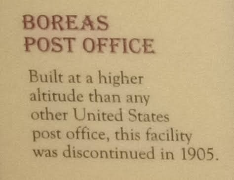
Today you can ride to Como and over the Continental Divide at Boreas Pass.
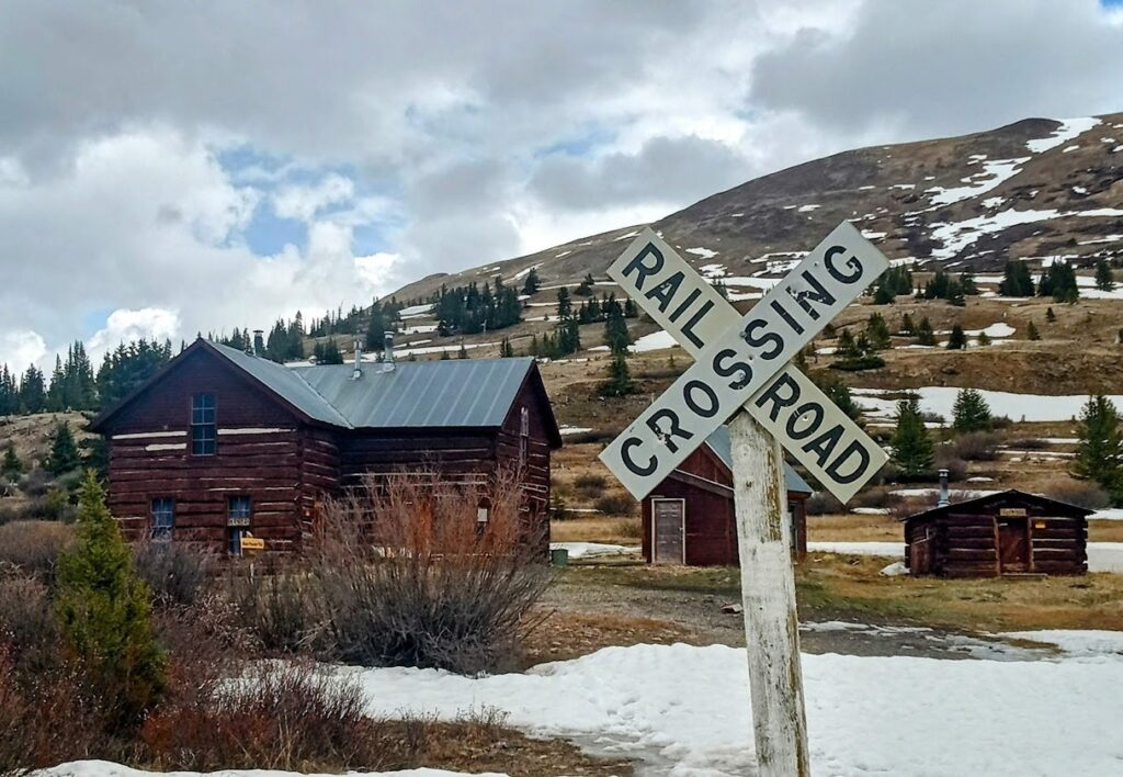
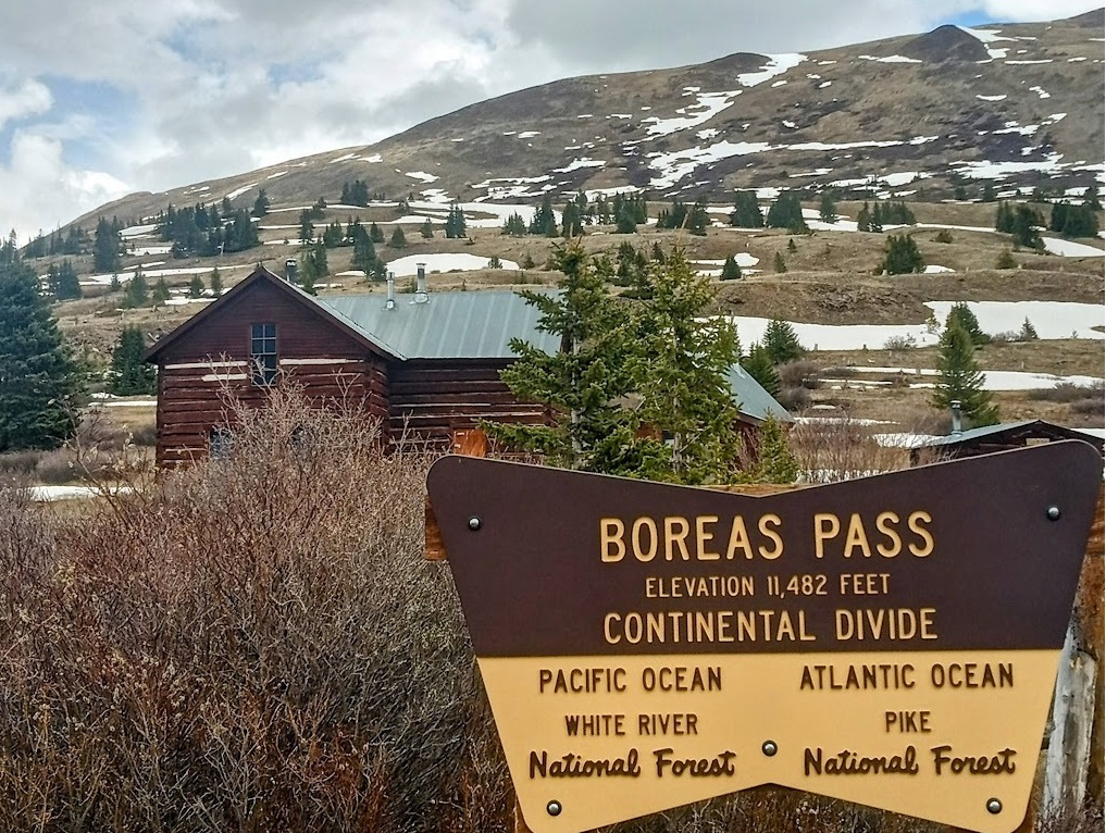
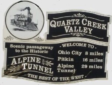
The DSP&P built the Highest ever Alpine Tunnel under the Divide between St. Elmo & Pitkin.
The railroad would reorganize as the Denver, Leadville and Gunnison Railroad in 1889.
- Only to join the Colorado & Southern five years later.
- Trout Creek Pass is at the Headwaters of the South Platte and the Arkansas River.
- The old DSP&P Right-of-way in now a portion of Hwy’s 24 & 285.
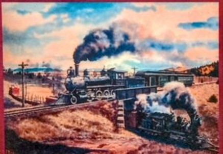
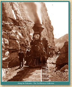

Narrow-gauge railroading in Colorado was running out of steam in the early 20th century.
- The DSP&P and C&S were no exception as abandonment gradually began rather early in 1910.
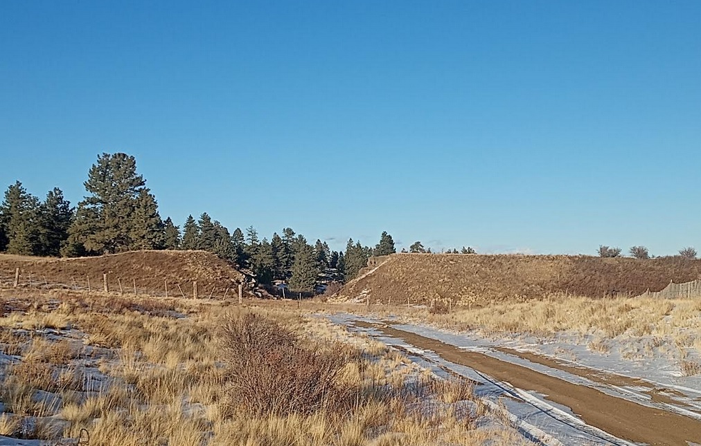
What remained is sparse yet valuable in today’s preservation movement.
- The crown jewel being the Georgetown-Silver Plume section operating as the Georgetown Loop Railroad.
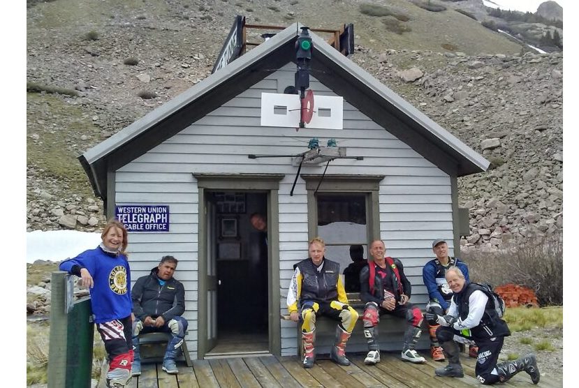
Ride portions of the DSP&P @:
- Father’s Day ride in June.
- 6 Days of Colorado, X-Roads BV in Aug.
- COBDR+, the last week of Aug.
- Divide Rides in July & Sept.
- The Hartsel Lodge Rendezvous in Oct.
Denver & Rio Grande Western Railroad
Incorporated in 1870 by Civil War Brigadier General and Colorado Springs Founder William Jackson Palmer, the Denver & Rio Grande Railway originally was headed south of Denver to reach El Paso,Texas.
- However, a legal scrimmage with the Atchison, Topeka and Santa Fe Railway in 1878 made the Rio Grande pivot at Pueblo.
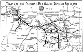
The railroad would instead head west, creating a network in most of Colorado and as far as Salt Lake City with a heavy emphasis on standard gauge trackage.
- Though a narrow gauge empire would still hang on into the 20th century.
- The track gauge was initially chosen at 3 feet as an economic decision to ease building tight curvatures in the mountains.
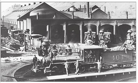
By the 1920s, the Rio Grande (reorganized into the Denver & Rio Grande Western Railroad in 1925) had roughly 800 miles of 3 foot gauge track.
- Transporting minerals, livestock, and passengers over the Continental Divide and through the Sangre de Cristo & San Juan Mountains.
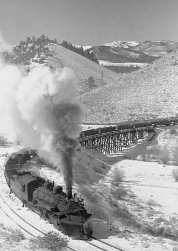
Routes connected Salida to Gunnison and Durango to Alamosa, with the Rio Grande Southern connecting Ridgeway to Durango and Alamosa to Salida.
- The route from Salida to Alamosa was known as the Gunbarrel, from Mears Junction on Poncha Pass at the east end of Marshall Pass.
- The Gunbarrel also serviced the Orient Iron Ore mine on the west side of the Sangre de Cristo Range, feeding the Steel Mills in Pueblo.
This became the “Narrow Gauge Circle” for enthusiasts to visit and ride.
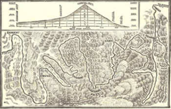
- The section from Salida to Gunnison included Marshall Pass, the 1st railroad over the Divide in Colorado.
- The section from Gunnison to near the Black Canyon of the Gunnison to Grand Junction was later swallowed by Blue Mesa reservoir.
Marshall Pass
The Rio Grande also had the extended “Chili Line” south from from Antonito, Colo., to Santa Fe, N.M., along with multiple branch lines.
- The Rio Grande’s narrow gauge infrastructure became a money-losing oddity by the 1940s.
Abandonment began with the Chili Line in 1942, and could’ve consumed the entire system had it not been for the interest of both Hollywood and supporters.
- The sections between Durango and Silverton and Chama, N.M. and Antonito survive as modern-day tourist operations .
- Under the Durango & Silverton Narrow Gauge Railroad and Cumbres & Toltec Scenic Railroad, respectively.
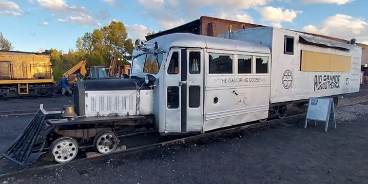
The introduction of motor rail cars nicknamed “Galloping Geese” symbolized the Rio Grande Southern since 1931.
- While another key chapter in the railroad’s lifespan was the transport of uranium ore from the Vanadium mines during World War II.
Galloping Goose
These quirks couldn’t save the C&S railroad from continual hardship, along with a series of unfortunate events over the years that ranged from washouts to fires.
- The last train ran on Dec. 27, 1951, leaving only certain pieces of preserved equipment as today’s reminder of the Colorado & Southern.
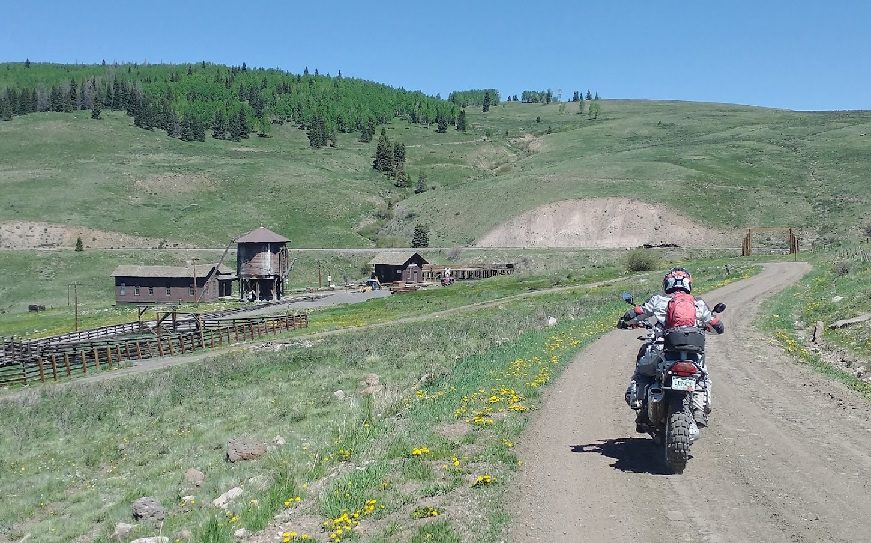
Ride portions of the Chili Line & along portions of the Cumbres & Toltec @:
- The Spanish Border Adventure in Sept.
Ride a portion of the DRG&W’s Narrow Gauge Circle @:
- 6 Days of Colorado X Roads BV
- The 2 Divide Rides in July and Sept.
- On Day 4 on the COBDR+.
- At the Hartsel Lodge Rendezvous in Oct.
Florence & Cripple Creek Railroad
With the gold and silver strikes in Colorado waning by the 1890s, Cripple Creek and its namesake gold-mining district became the last of the booming towns.
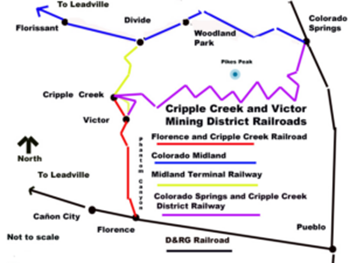
The area caught the attention of three separate rail lines to reach the mines in the late 1890’s .
- The F&CC.
- The Colorado Midland.
- And the Colorado Springs & Cripple Creek District RR.
The last being today’s Gold Camp Road.
- You can ride portions of all 3 of these old lines today.
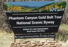
In 1894, the Florence & Cripple Creek Railroad became the first to make its mark in the mining district by heading up Phantom Canyon.
- During 1894 the 3 ft narrow-gauge line, known as the Florence and Cripple Creek Railroad was built at a cost of $500,000.
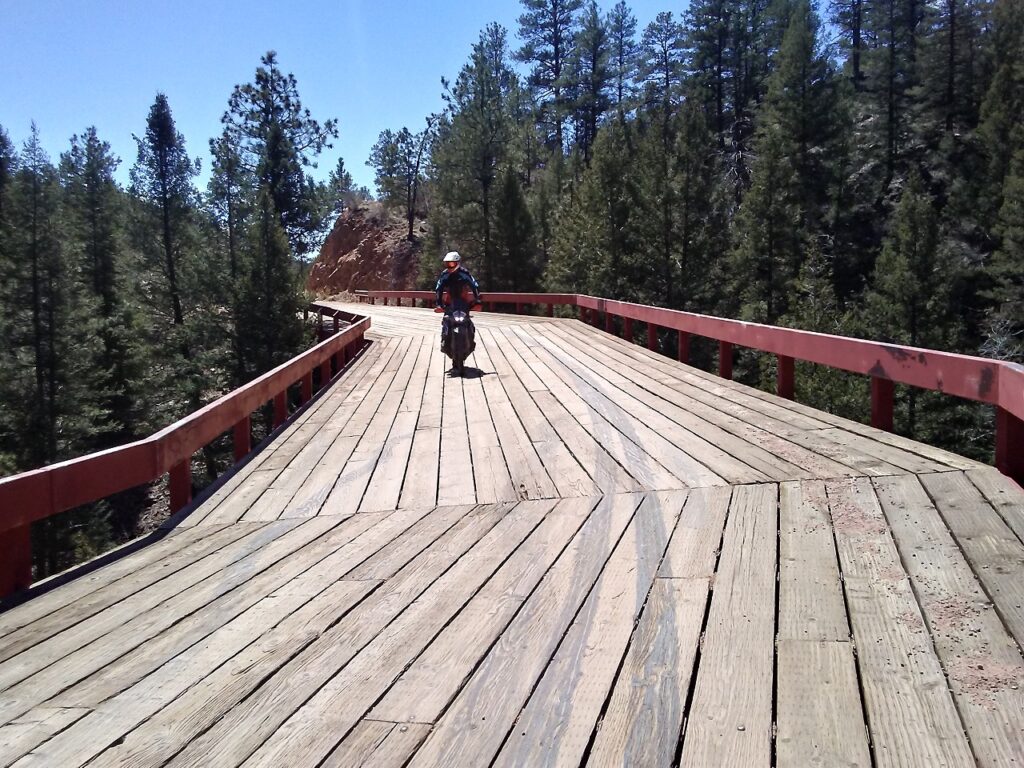
Several of the only remaining curved bridges in the Country still exist in Phantom Canyon.
- The Florence and Cripple Creek Railroad extended forty miles and reached the district from the Arkansas River to the south in 1894.
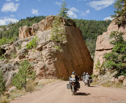
The 3 foot gauge railroad interchanged with the Rio Grande at Florence on the South side of the Arkansas river.
- Then headed north, from south of Pikes Peak through the scenic Phantom Canyon along the Rocky Mountain’s most eastern range.
- The precious ore was hauled from the mines to the reduction mills and smelters in the Arkansas River Valley.
- While coal and supplies were shipped to Cripple Creek and the mining communities.
Immediate success was under the F&CC banner for developing the area known as “the Greatest Gold Camp on Earth.”
The success and the railroad itself was short lived however.
- Due to financial issues and two more efficient lines making their presence known at the turn of the 20th century.
- The death blow came in 1912 when a major flood washed out much of the tracks.
- Instead of rebuilding, the Florence & Cripple Creek closed up shop by 1916.
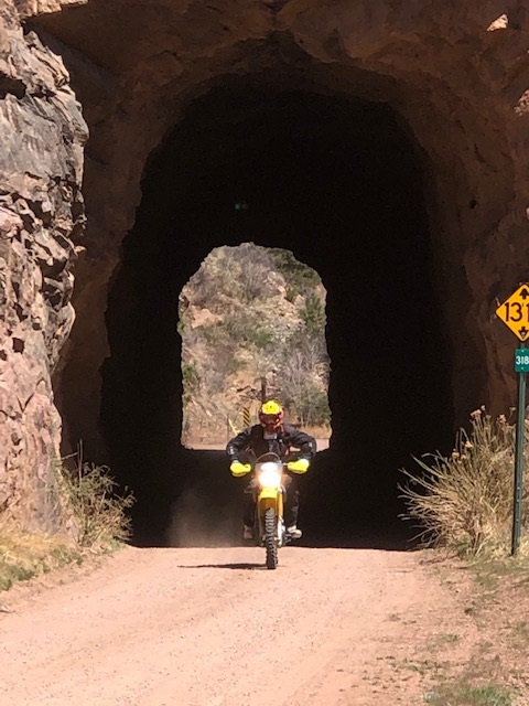
A section of the original right-of-way was repurposed for the 2-foot-gauge Cripple Creek & Victor Narrow Gauge Railroad.
Ride down Scenic & Epic Phantom Canyon at both:
- The July & September Top of Rockies Divide Adventure Rides from Colorado Springs.
- The Hartsel Lodge Adventure Rendezvous in October.
Colorado Midland
The Colorado Midland began in Colorado Springs, trudged up Ute Pass to Divide, then branched south around the west side of Pikes Peak to Cripple Creek.
- The route then continued west through 11 Mile canyon, through Hartsel & Southpark and up and over Trout Creek Pass to Buena Vista.
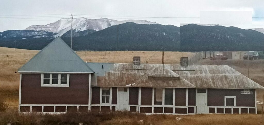
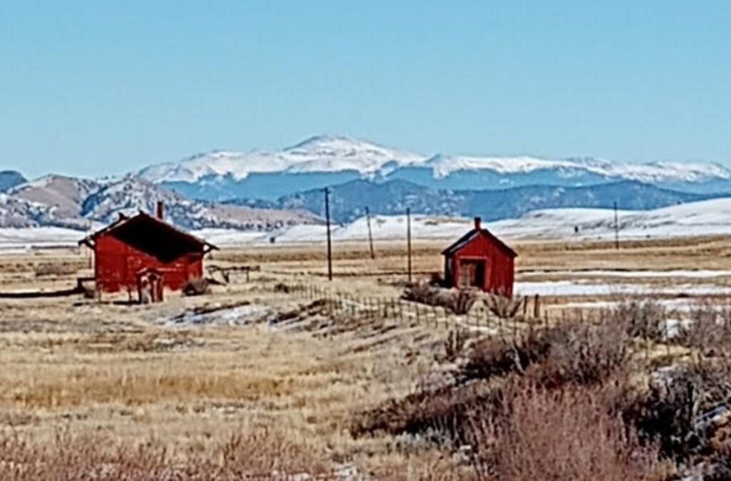
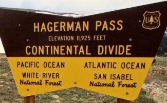
From Buena Vista the line then went north to the Silver boom town of Leadville, then over through a tunnel under Hagerman Pass to Aspen.
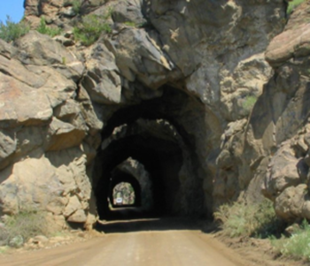
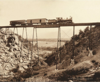
As part of the switchbacks to reach the altitude of the Hagerman Tunnel, the line went over the Hagerman Trestle.
- The most elaborate and spectacular ever constructed in Colorado, on the hairpin turn above Busk Creek.
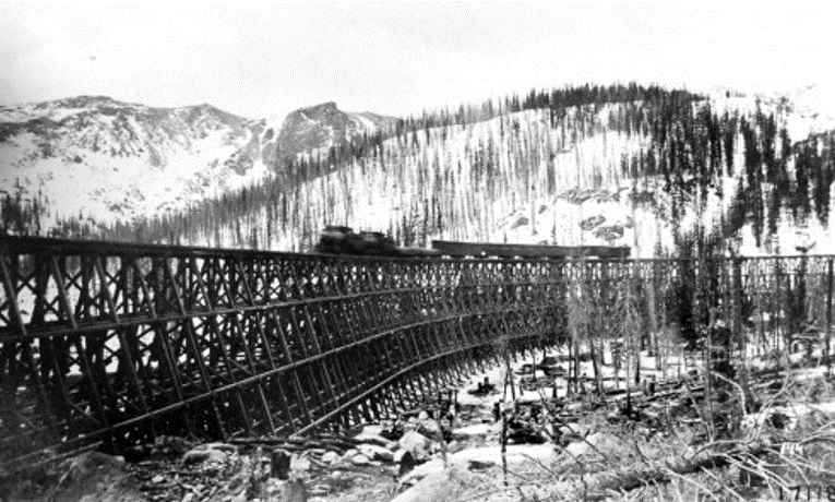
The Hagerman Trestle was 1,084 feet long, 84 feet high, and included 200 degrees of curvature.
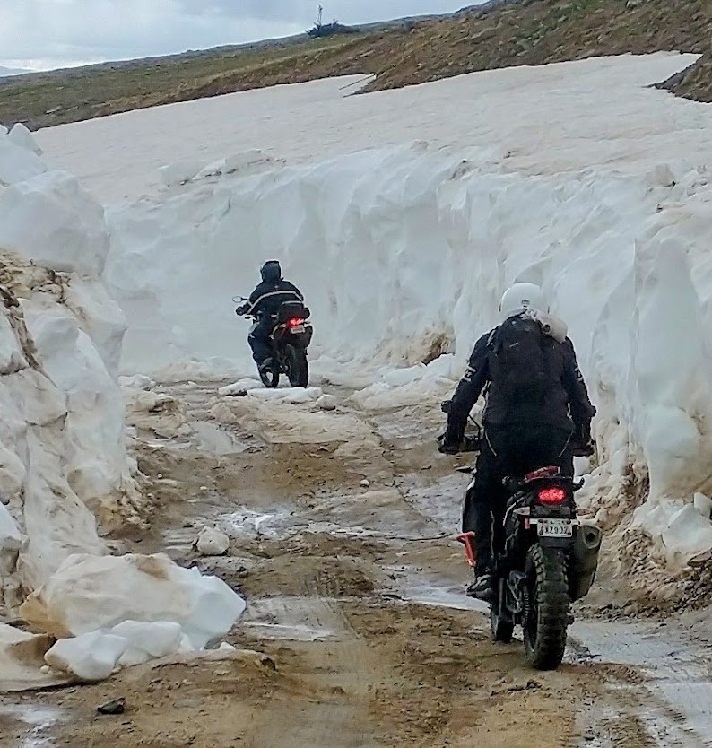
The Line known as Hagerman Pass was scrapped in 1920.
- Today you can ride over the top of Hagerman Pass.
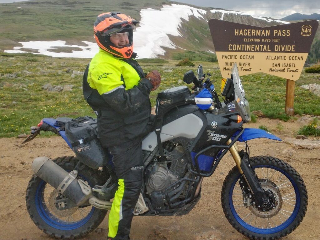
The Busk-Ivanhoe Tunnel was converted to auto traffic in 1922 and re-named as the Carlton Tunnel.
- A toll tunnel carrying then-State Highway 104.
In 1917, the line was sold at auction to Albert E. Carlton of Colorado Springs.
Carlton first attempted to revive the railroad’s fortunes, but his stewardship of the railroad coincided with the entry of the United States into the First World War.
- Trans-Colorado traffic that was previously carried by other railroads was directed onto the Midland, which was ill-equipped to deal with the sudden upturn in business.
- The traffic overwhelmed the railroad, and when it became apparent that the Midland was incapable of dealing with the volume of business, the government redirected all traffic elsewhere.
- Much of the line’s grade was incorporated into the modern day U.S. Route 24 in Colorado, in particular the section from Colorado Springs to Buena Vista.
The East portal of the Carlton Tunnel today
In 1943 there was a Cave-in on the west end of the Tunnel
- The Colorado Highway Department closed the tunnel and the state discontinued maintenance of the road.
- The tunnel was permanently closed to automobiles in 1943 after that partial collapse.
- The tunnel completely collapsed in 1945.
- Even with the collapse, water is still able to travel through the broken rocks to Busk Creek, which feed into Turquoise Lake.
- Thence into the Arkansas River.
Ride portions of the Colorado Midland @:
- Father’s Day Ride in June
- 6 Days of Colorado X-Roads BV in Aug.
- COBDR+ last week of Aug.
- Divide Ride in July & Sept.
- The Hartsel Lodge Rendezvous in Oct.
Colorado Springs & Cripple Creek District Railway
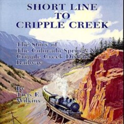
Also known as the “Cripple Creek Short Line”, President Theodore Roosevelt once rode this line to Cripple Creek and declared:
“The scenery on this route Bankrupt’s the English Language”.
The “Pikes Peak gold rush” of 1859 brought many would-be gold miners to the eastern base of Pikes Peak but not many found any minerals that were of value.
- Most went home empty handed and the Pikes Peak region gained a poor reputation as a potential gold area.
- Today the Cripple Creek & Victor area is the site of one of the largest gold mines in the entire country.
- The CC&V Gold Mine. Which you can visit today.
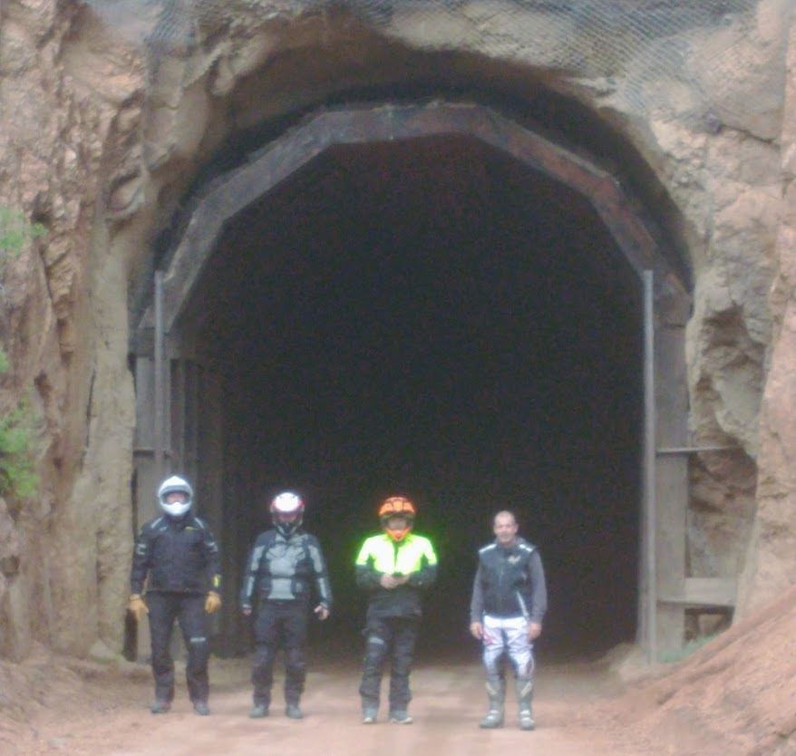
Finally in 1890, rocks from Bob Womack’s persistent digging were assayed in Colorado Springs showing that the rock actually contained gold.
- This led to the formation of the Cripple Creek Mining District on April 5, 1891.
- Mine owners with mills in Colorado City adjacent to Colorado Springs organized and built the Colorado Springs and Cripple Creek Railroad or “Short Line” traversing the south slope of Pikes Peak.
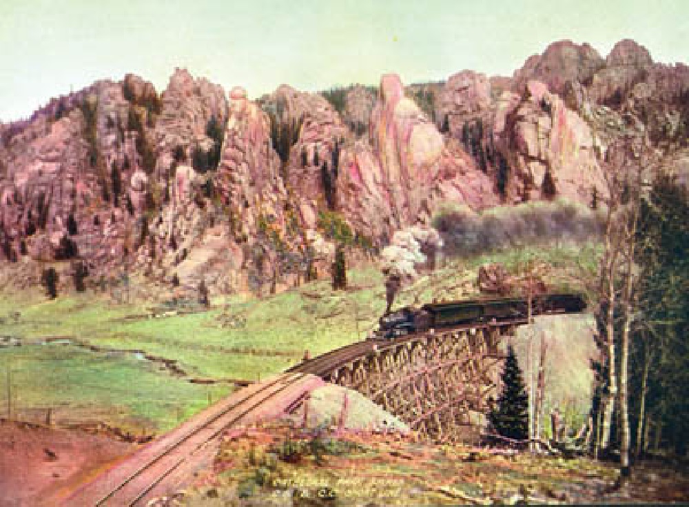
The new railroad was able to force freight rates downward accelerating production.
At peak capacity, the Midland Terminal Railway operated ten trains a day.
- One train carried parlor cars and sleepers and offered champagne dinners on overnight excursions from Denver.
- Freight cars hauled coal, lumber, explosives, machinery, fruit and other luxuries.
- Outbound, the same cars carried ore for delivery to reduction mills, such as the Golden Cycle, at the western edge of Colorado Springs.
- The name was changed to Colorado Springs and Cripple Creek District Railway on November 17, 1899.
- An extension to Colorado Springs opened in April 1901.
- The Colorado and Southern Railway directed operations from 1904 to 1911.
In 1920 W.D. Corley, a Colorado Springs coal mine owner and cattle breeder, bought the bankrupt ‘Short Line’ for $370,000.
It was renamed the Corley Mountain Highway at that time.
- Corley removed all the tracks, installed toll booths at both ends and opened the Corley mountain highway in 1926.
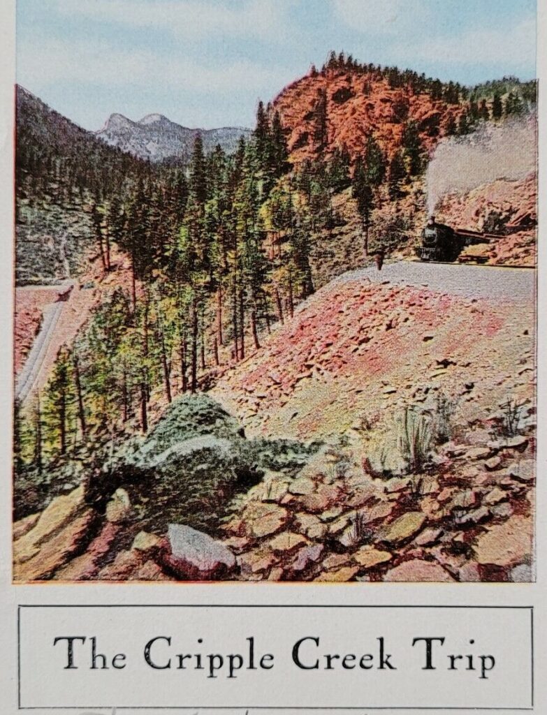
This breath-taking mountain highway became a popular tourist attraction and Corley made $400 per day from the $1 per car toll that he charged.
- Corley operated his toll road on a Special use permit from the Pike National Forest.
- When this permit expired in 1939, the road was turned over to the federal government.
- That year the Federal Government changed the name to the Gold Camp Road.
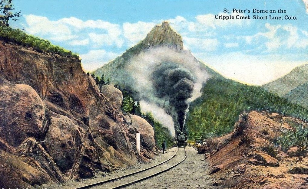
Ride over the ‘Short Line’ on an Epic loop to Phantom Canyon from Colorado Springs @:
- On Both Top of the Rockies Divide Adventure Rides.
- The Hartsel Lodge Adventure Rendezvous in Oct.
READ MORE ON OLD RAILROAD PASSES IN THE HEART OF THE ROCKIES:
HANCOCK PASS & THE ALPINE TUNNEL
