DESCRIPTION OF THE AREAS WHERE HIGHWAY’S 50 & 285 INTERSECT
And Arkansas River Facts:

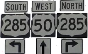
The Crossroads of the Rockies are where Hwy’s 50 and 285 intersect at Poncha Springs in Chaffee County, Colorado.
In the Heart of the Rockies.
- In the state of New Mexico, US 285 runs through the major cities of Carlsbad, Roswell, and Santa Fe.
- Highway 285 enters into the state Colorado near the small town of Antonito on Colorado’s southern border with New Mexico.
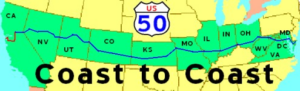
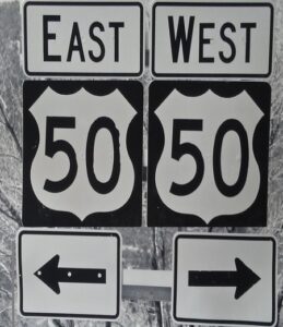
- U.S. Route 50 (US 50) is a part of the Intercontinental U.S. Highway System.
- US Hwy 50 traverses the Country from West Sacramento, California, to Ocean City, Maryland.
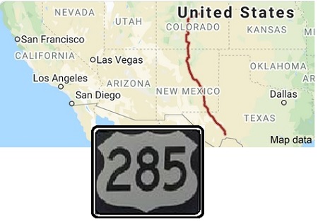
- US Route 285 (US 285) is a north–south U.S. highway that runs from Sanderson, TX to Denver, CO.
- In the state of Colorado, US 50 is a major highway crossing through the lower midsection of the state.
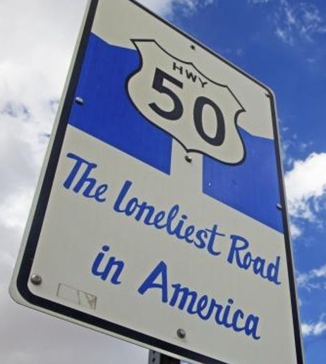
- In Nevada, Hwy 50 is called “The Loneliest Road in America”
- Hwy 50 connects the Western Slope with the lower Front Range and the Arkansas River Valley.
- The highway travels through the cities of Pueblo and Grand Junction as well as many other smaller towns along its corridor.

- The Arkansas
- Rio Grande
- Colorado
- South Platte.

HWY 285 ROUTE DESCRIPTION
LEADING TO AND FROM THE CROSSROADS OF THE ROCKIES
- In New Mexico Hwy 285 partially follows the old Chili Line Railroad line, officially known as the Santa Fe Branch.
- The Chili Line was a narrow-gauge branch of the Denver and Rio Grande Western Railroad (D&RGW).
- The line ran 125.6 miles from Antonito, Colorado, to Santa Fe, New Mexico.
- The D&RGW closed the Chili Line in 1941, and the line was abandoned shortly thereafter.
The first town in Colorado from the South on Hwy 285 is Antonito.
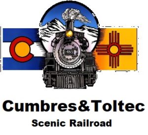
- The Cumbres & Toltec Railroad is based in Antonito.
- The Historic Narrow Gauge Cumbres & Toltec Scenic Railroad is a still in existence narrow gauge tourist train.
- The Train departs from the nearby small town of Antonito and Hwy 285.
LINK to Cumbres & Toltec RAILROAD
- Heading north from the Colorado/ New Mexico border, US 285 passes through the center part of the San Luis Valley.
- Eventually reaching the city of Alamosa.
- Alamosa was a division point and maintenance yard for the Denver & Rio Grande Railroad from the late 1800’s.
- Alamosa is the largest city in the entire San Luis Valley and is home to Adams State University.
- As Highway 285 continues it passes through the farming community of Monte Vista.
- The Hwy then bypasses La Garita and historic Penitente Canyon .
- Then it dissects the historic town of Saguache, where the Highway begins to ascend to the northern end of the valley.
- The Highway follows the Valley Line of the DRG&W and eventually climbs over Poncha Pass , elevation 9,010 feet.
- And drops sharply down the other side into the Arkansas River Valley.

- Hwy 285 follows portions of the old DRG&W line over Poncha Pass.
- Poncha Pass is a division point of the Watersheds of the Rio Grande and Arkansas Rivers.
- Poncha Pass also included the division point at Mears Junction of the Marshall Pass route to Gunnison.
- And the Valley Line Narrow Gauge DRG&W Railroad route to Alamosa back in the day.
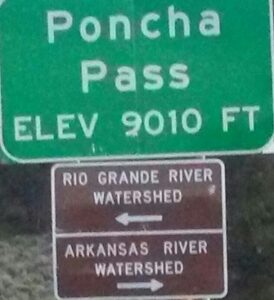
- At the bottom of Poncha Pass Hwy 285 intersects Hwy 50 at the Crossroads of the Rockies in Poncha Springs.
- The small town of Poncha Springs lies about 6 miles north of the pass.
- Poncha Pass has a steeper but still mild approach on the northern side and a moderate 5% approach from the south.
- Poncha Pass lies on the border between Chaffee County and Saguache County, (Sawatch).
- It is on the dividing line between the San Isabel and the Rio Grande National Forests.

The Poncha Springs Schoolhouse, which is listed on the National Register of Historic Places was completed in 1883.

Poncha Springs in Chaffee County is known as the Crossroads of the Rockies

- Highway 285 brushes past Salida and follows the Arkansas River north up the valley about 20 miles.
- It then takes a sharp eastward turn just before the small town of Buena Vista at the foot of the Collegiate Peaks .
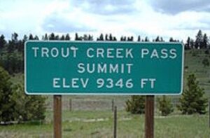
- Hwy 285 then merges with Hwy 24 and climbs over Trout Creek Pass.
- Following the old Denver, Southpark Pacific Railroad line to an elevation of 9,346 feet.
- The Hwy then enters the high-altitude South Park basin.

- A few miles north, the highway passes through Fairplay and the historic South Park City site.
- Hwy 285 then reaches its highest elevation: 10,051 feet at the summit of Red Hill Pass.
- US 285 then leaves the South Park basin and climbs over Kenosha Pass, elevation 10,001 feet.
- Then skirts the south side of the Mount Evans massif as it descends its way through the foothills range towards Denver.
HWY 50 ROUTE DESCRIPTION LEADING TO AND FROM THE CROSSROADS OF THE ROCKIES
- From East of Gunnison Highway 50 follows portions of the old DRG&W railroad line from Grand Junction to Marshall Pass.
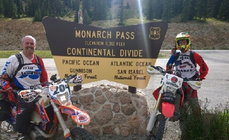
- Through the communities of Parlin and Sargents and then ascends to Monarch Pass (elevation 11,312 feet) on the Continental Divide.
- Monarch Pass is the highest point on the entire 3,017 mile length of U.S. 50, which was built in 1926.
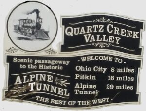
The Alpine Tunnel led from the Arkansas River Valley, thru the Continental Divide to Gunnison back in the day.
The Arkansas River Valley
- After descending from Monarch Pass and the south fork of the Arkansas River, Highway 50 enters the Arkansas River Valley.
- At the town of Poncha Springs.
- Where it crosses Hwy 285 and continues east toward the town of Salida,
- Salida is the County seat of Chaffee County.
- The northern fork of the headwaters of the Arkansas River is about 50 miles north near Leadville, at the Climax mine molybdenum ore deposit.

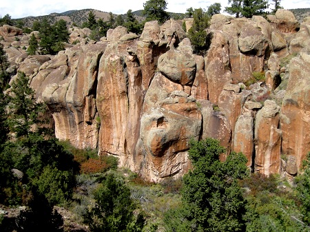
East of Salida, Highway 50 enters a deep canyon, dubbed “Bighorn Sheep Canyon”.
There are several small communities and old Railroad stops in the canyon including:
- The Arkansas River which begins its exit of the mountains at Salida (which means ‘Exit’ in Spanish)
- The Arkansas is the second-longest tributary to the Mississippi River system.
- U.S. Hwy 50 traverses the South side of the river in the canyon while closely following the Tennessee Pass Railroad line.
- On the South bank of the river down the canyon.
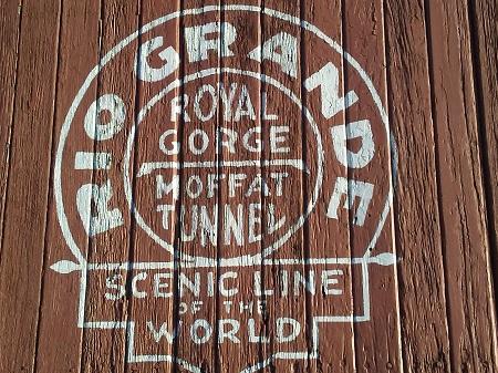
The DRG&W line was known as the Scenic Line of the World.
Before the highway climbs uphill and leaves the canyon, it passes thru Parkdale, Colorado.
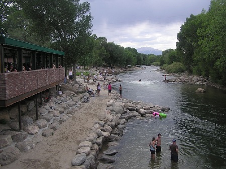
Parkdale is home to a large gravel mining operation and a recreational area along the Arkansas river.
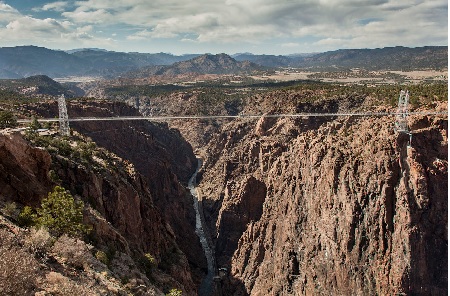
- A short distance later, the highway crosses the Arkansas River, climbs a hill and enters the Royal Gorge area and its famous suspension bridge.
- The Royal Gorge Bridge is 1,260 feet long and 956 feet above the Arkansas River.
- It was built in 1929 and remains a popular tourist attraction.
- The bridge actually goes nowhere.

- After passing by the Royal Gorge, Highway 50 lowers off Eight Mile Hill and becomes a divided four lane highway.
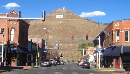
- It then passes by the scenic Skyline Drive on its way into Cañon City.
- ADX Supermax Prison, the only federal Supermax prison in the United States is located southeast of Hwy 50 & Canon City at Florence, Colorado.
- The highway then enters Pueblo West on its way to intersect with Interstate 25.
- The city of Pueblo is at the edge of the Rocky Mountains, at the beginning of the plains of southeastern Colorado.
- As Highway 50 heads east across the plains, it generally follows the path of the Arkansas River until it reaches Kansas.
ARKANSAS RIVER FACTS
- The name “Arkansas,” which had applied only to the lower reaches of the river, was carried westward by American traders and trappers.
- The upper portion of the Arkansas River cascades out of the rugged Rocky Mountains and drops 10,000 feet in only 125 miles.
- After the Arkansas River rushes through the Royal Gorge at Cañon City, Colorado, it widens and flattens dramatically.

- The river served as the boundary between the United States and Mexico from 1820 to 1846.
- The Santa Fe Trail followed the Arkansas River through much of Kansas.
- The Arkansas River is a major tributary of the Mississippi River.
- At 1,469 miles, the Arkansas is the sixth longest river in the United States.
- The 45th longest river in the world.
- The river’s origin is in the Rocky Mountains in Lake County, Colorado, near the town of Leadville.

Salida is where the Arkansas River begins it’s ‘Exit’ from the mountains
LINKS TO HISTORICAL RAILROAD INFO
- Crossroads of the Rockies FROM DENVER & RIO GRANDE.NET
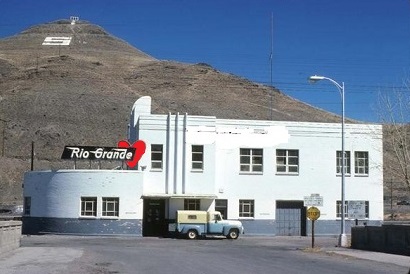
Chaffee County Railroad History Link
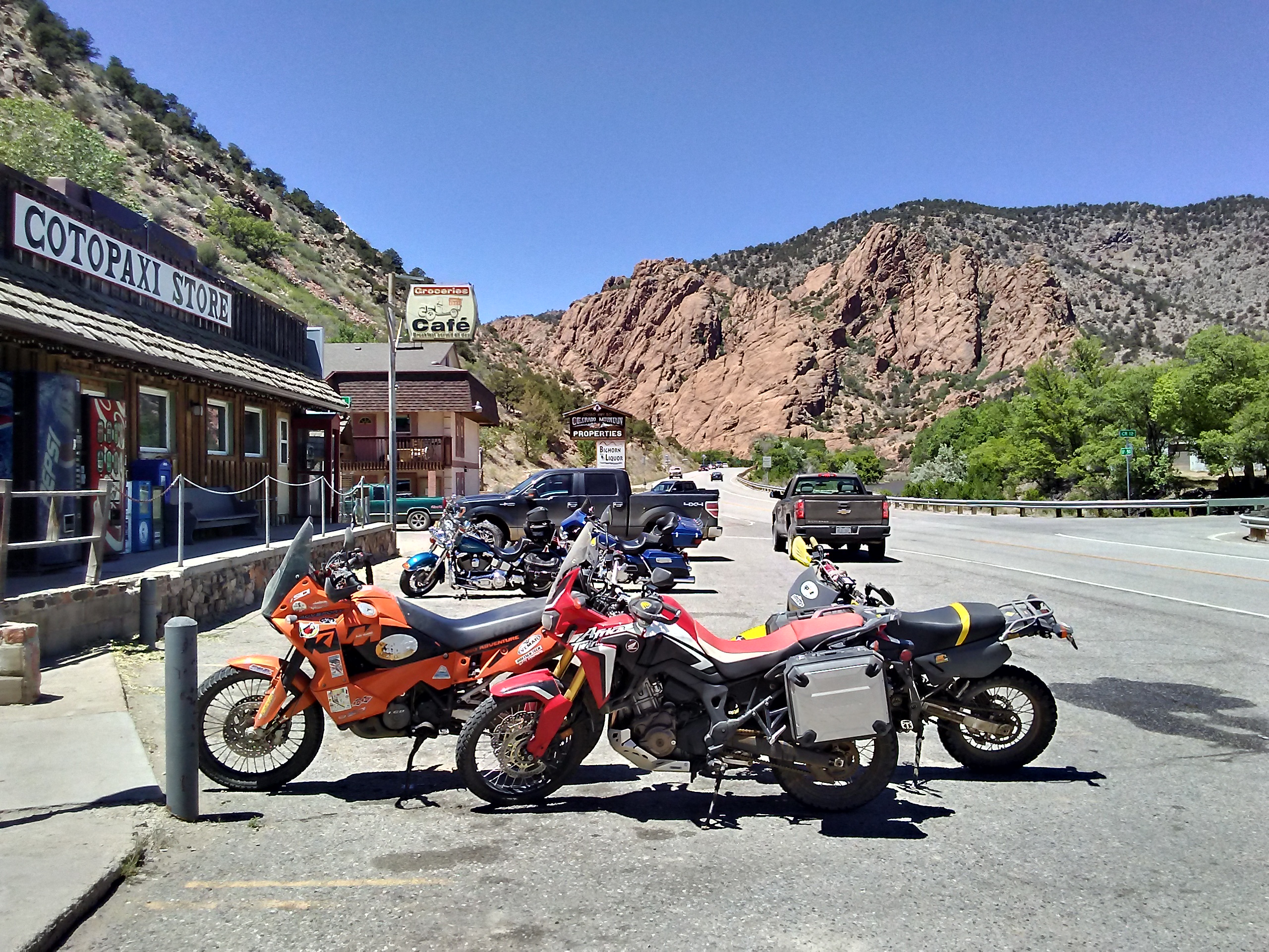
LINK to Adventure Motorcycle Rides in the Heart of the Rockies