Road trip to Colorado
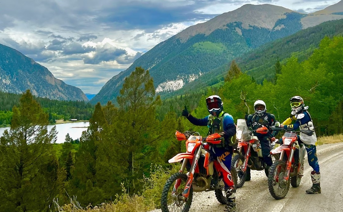
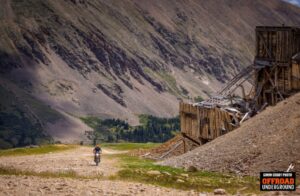
X-Roads BV stages and all loops cloverleaf near Buena Vista off of Trout Creek Pass in Chaffee County, Colorado.
ROAD TRIP TO THE HEART OF THE ROCKIES. AUGUST 8-14 ’24
IN THE HEART OF THE ROCKY MOUNTAINS
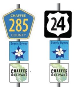
X-Roads BV stages off of Hwy’s 285 & 24 on Trout Creek Pass.
Where is the Heart of the Rockies:
- 2.5 hours West of Colorado Springs on Hwy 50
- 3 hours West of Pueblo on Hwy 50
- 3 hours Southwest of Denver on Hwy 285
- 3.5 hours East of Grand Junction on Hwy 50
- 3.5 hours North of Santa Fe, NM on Hwy 285
- 2 hours South of Leadville on Hwy 24/285 off of Hwy 70
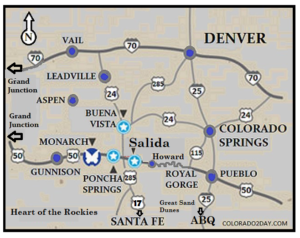
Google MAP LINK to Hwy’s 24 & 285 at Buena Vista
Camping & Staging at X-Roads BV
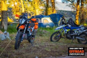
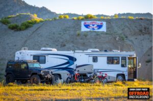
There are 120 private acres at the River Park Mine on which to camp and stage.
- Camping spots are level and available in the freshly mown grass
- Tent Campsites available under the trees along the creek.
- There is more than enough room to spread out if you wish.
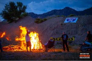
- Plenty of firewood is available onsite for a campfire if you’d like.
- There are 2 creeks suitable for bathing
- Arkansas River access for bathing & fishing.
- New Porta Potties will be on site.
- Showers are available at 2 nearby Hot Springs for a fee, if you wish to shower and soak in a Rocky Mountain Hot Springs.
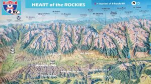
X-Roads BV Stages & Camping is available off of Trout Creek Pass.
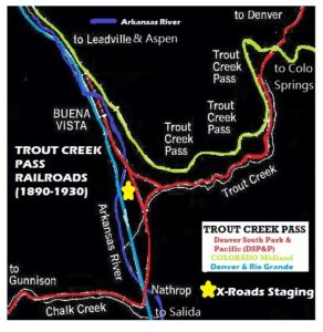
X-Roads BV stages 1 mile from Johnson Village:
- On the other side of the Arkansas River.
- Dominos Pizza, a Liquor store and Fuel is available in Johnson Village
- Downtown Buena Vista and South Main street are less than 3 miles away, will all amenities typically available in a small town.
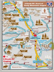
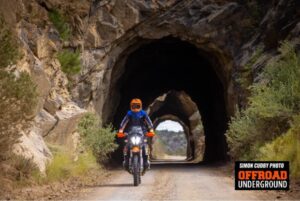


- X-Roads BV from the Heart of the Rocky Mtns. 6 Days of Colorado.
